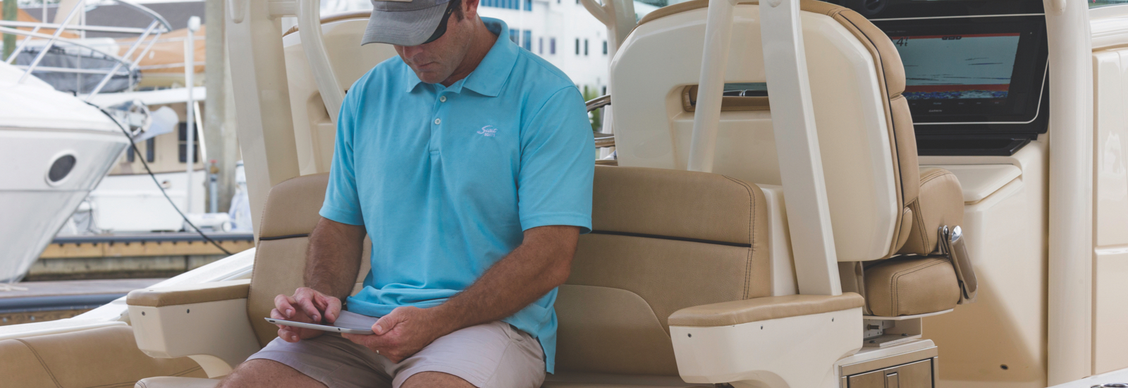
This free, all-in-one mobile app allows you to manage your marine experience, activate your subscription and update maps and charts from nearly anywhere — at any time.
You may also update your marine maps and charts using Garmin Express™.
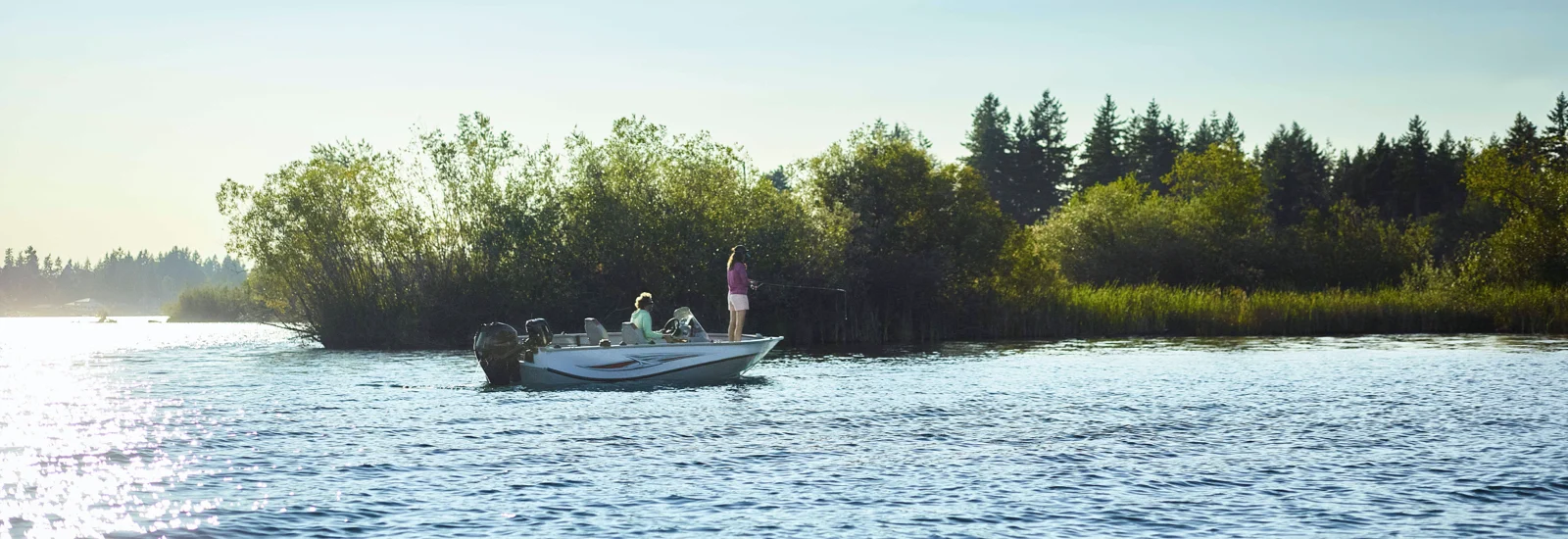
Can’t find the maps you’re looking for? With our free Quickdraw Contours software feature, you can create personalised HD maps with 1’ contours of nearly any body of water. No special surveying expertise is required; you simply fish while it creates the maps. It automatically labels points of interest — such as navaids, docks, ramps, timber or brush piles — that are stored with the map and shows where data has been captured to maximise your time on the water. Keep the data for yourself, or share it with the Quickdraw Community.
